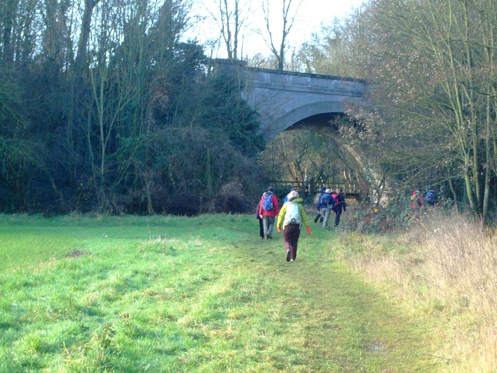
On the coldest of days we began our winter wonderland trek at the disused station at Millers Dale. Thus the amazing visual thing about this walk was the contrast between bright winter sunshine, and the carpet of white frost in the shaded areas (a contrast that was to last for the whole duration). Anyway this particular point on the Monsal Trail appears to be a very popular start point for both walkers and the cycling fraternity, no doubt in part because the station facilities are still in use. So once two out of the three of us, had made use of available facilities, we were on our way.


Basically we didn’t stay on the trail long enough to be bothered by the cyclists (which seems to be a bit of a problem in walking circles at the moment). Thus once we had passed the lime kilns, we headed off up towards Wormhill. As responsible dog owners/walkers (well most of the time) we followed instructions and kept Molly on her lead. This being just as well as we soon encountered a local farmer (+ working dog) rounding up his flock of sheep. Unsure of what to do, we basically watched proceedings until he said we could move on, whilst he bemoaned that he was one sheep missing. So in our quest to continue to do the right thing, I decided to shut the next open gate we came to, only for a loud voice to bellow “leave it open”. Thus we hurried on, eager not to be trampled by the flock, once the numbers were complete.

Lunch wasn’t too long after, but given the cold one didn’t want to sit still for too long. However Helen (who periodically enjoys making me retrace my steps uphill) tried to pull a ‘lost her glasses gag’ which I refused to fall for (they were of course in her rucksack). So presently we passed through the village of Tunstead, which seemed to consist of two semi-derelict houses and a red phone box with no door. We then had trouble negotiating some fields where the OS trail seemed to be deliberately run down, as if to discourage pesky walker types. Latterly some farm dogs didn’t make us feel all that welcome either, when we passed them by on our way to Dale Head (Molly however maintained an air of nonchalance).

At Dale Head we joined the Limestone Way, passing though Peter Dale, which was waterlogged but frozen (and spectacularly beautiful). However when we came out of that and attempted to continue through Monks Dale, it became too much water and too little ice. Thus we made a strategic withdrawal, and instead headed on up the road to pick up the Limestone Way again.

However after a bit of zigzagging along some dry stone walled fields, the woman in the black woolly hat, misplaced the Limestone Way somewhere (I take no responsibility as I was playing follow the leader). Anyway a check between the GPS and the OS map, confirmed we were a little further over than thought, at a fork called Meadow Lane. So although it was getting late in the afternoon, with the sun setting on our right, it didn’t present a real problem, as following the road took us all the way down (and eventually up some steps) to where the car was parked at Millers Dale. As we reached the car we saw the last of the day’s other walkers packing up to head home, no doubt like us doing a quick mental double check that they had taken all their litter etc’, home with them.
Anyway this was a really good walk (which I think even began to wear the energetic Molly out), so much appreciation to the woman in the brown coat who thought of it. However her suggestion that we then head off dancing before we went home, was appreciated as much as the smell of silage on my boots and gators.